|
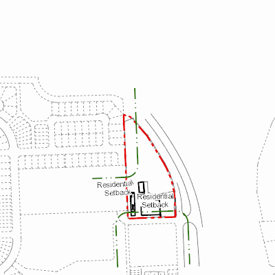
Width: 400 Height: 400 Extent:
YMin: 5686925.051253426 XMax: 709204.3094939565 YMax: 5687599.926295753 Spatial Reference: 26911 (26911) Scale: 6376.759299936979 |
| ArcGIS REST Services Directory | Login | Get Token |
| Home > services > 11225058 > 11225058_2125542 (MapServer) > export | Help | API Reference |

|
Width: 400 Height: 400 Extent:
YMin: 5686925.051253426 XMax: 709204.3094939565 YMax: 5687599.926295753 Spatial Reference: 26911 (26911) Scale: 6376.759299936979 |