|
Width: 400 Height: 400 Extent:
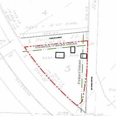
YMin: 5526558.605948627 XMax: 352527.08367049455 YMax: 5526815.469691425 Spatial Reference: 26912 (26912) Scale: 2427.054132944098 |
| ArcGIS REST Services Directory | Login | Get Token |
| Home > services > 11225058 > 11225058_2125488 (MapServer) > export | Help | API Reference |

|
Width: 400 Height: 400 Extent:
YMin: 5526558.605948627 XMax: 352527.08367049455 YMax: 5526815.469691425 Spatial Reference: 26912 (26912) Scale: 2427.054132944098 |