|
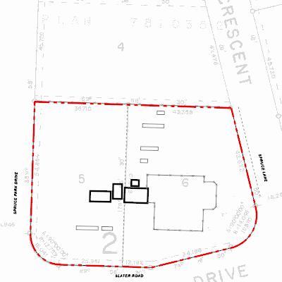
Width: 400 Height: 400 Extent:
YMin: 5656049.995404619 XMax: 332686.77537045476 YMax: 5656167.7212984925 Spatial Reference: 26912 (26912) Scale: 1112.3684260318184 |
| ArcGIS REST Services Directory | Login | Get Token |
| Home > services > 11225058 > 11225058_2125455 (MapServer) > export | Help | API Reference |
|
|
Width: 400 Height: 400 Extent:
YMin: 5656049.995404619 XMax: 332686.77537045476 YMax: 5656167.7212984925 Spatial Reference: 26912 (26912) Scale: 1112.3684260318184 |