|
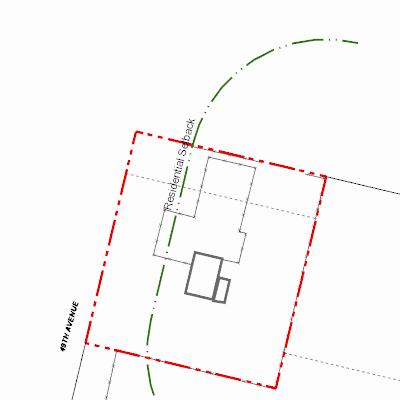
Width: 400 Height: 400 Extent:
YMin: 5741580.853215746 XMax: 699757.1985736915 YMax: 5741668.254784049 Spatial Reference: 26911 (26911) Scale: 825.8399385802968 |
| ArcGIS REST Services Directory | Login | Get Token |
| Home > services > 11225058 > 11225058_2125451 (MapServer) > export | Help | API Reference |
|
|
Width: 400 Height: 400 Extent:
YMin: 5741580.853215746 XMax: 699757.1985736915 YMax: 5741668.254784049 Spatial Reference: 26911 (26911) Scale: 825.8399385802968 |