|
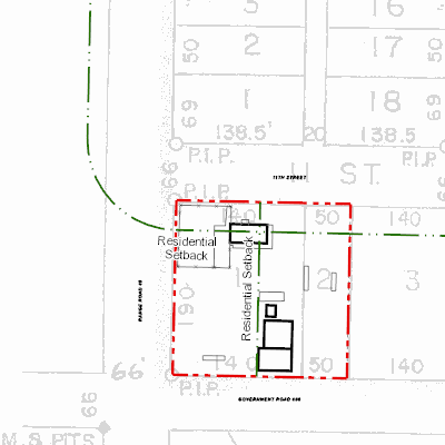
Width: 400 Height: 400 Extent:
YMin: 6234755.375135179 XMax: 400523.37275913707 YMax: 6234903.14106965 Spatial Reference: 26911 (26911) Scale: 1396.2107616343717 |
| ArcGIS REST Services Directory | Login | Get Token |
| Home > services > 11225058 > 11225058_2125419 (MapServer) > export | Help | API Reference |
|
|
Width: 400 Height: 400 Extent:
YMin: 6234755.375135179 XMax: 400523.37275913707 YMax: 6234903.14106965 Spatial Reference: 26911 (26911) Scale: 1396.2107616343717 |