|
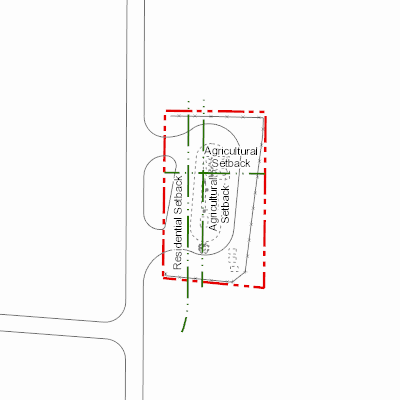
Width: 400 Height: 400 Extent:
YMin: 5999444.729113674 XMax: 452556.607743057 YMax: 5999638.4847889375 Spatial Reference: 26912 (26912) Scale: 1830.7586244316753 |
| ArcGIS REST Services Directory | Login | Get Token |
| Home > services > 11225058 > 11225058_2125410 (MapServer) > export | Help | API Reference |
|
|
Width: 400 Height: 400 Extent:
YMin: 5999444.729113674 XMax: 452556.607743057 YMax: 5999638.4847889375 Spatial Reference: 26912 (26912) Scale: 1830.7586244316753 |