|
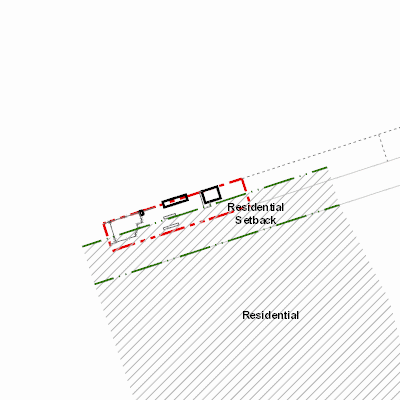
Width: 400 Height: 400 Extent:
YMin: 5953911.305109416 XMax: 684872.4756730252 YMax: 5954214.624049387 Spatial Reference: 26911 (26911) Scale: 2866.0000000005534 |
| ArcGIS REST Services Directory | Login | Get Token |
| Home > services > 11225058 > 11225058_2125352 (MapServer) > export | Help | API Reference |
|
|
Width: 400 Height: 400 Extent:
YMin: 5953911.305109416 XMax: 684872.4756730252 YMax: 5954214.624049387 Spatial Reference: 26911 (26911) Scale: 2866.0000000005534 |