|
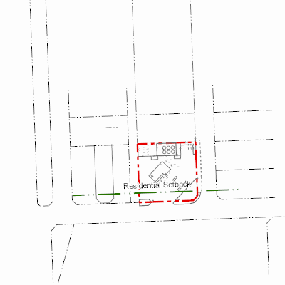
Width: 400 Height: 400 Extent:
YMin: 6001157.072287144 XMax: 670026.5962539453 YMax: 6001455.099549865 Spatial Reference: 26911 (26911) Scale: 2816.0000000001755 |
| ArcGIS REST Services Directory | Login | Get Token |
| Home > services > 11225058 > 11225058_2125348 (MapServer) > export | Help | API Reference |
|
|
Width: 400 Height: 400 Extent:
YMin: 6001157.072287144 XMax: 670026.5962539453 YMax: 6001455.099549865 Spatial Reference: 26911 (26911) Scale: 2816.0000000001755 |